
Each route is divided into stages of reasonable distance and duration for a long-distance walker. Each of these stages is managed by the association concerned and recorded by it via the IGNRANDO application published by the IGN company.
To download a GPX track, connect to IGNRANDO, search for the Compostelle Centre Community, follow the instructions and let yourself be guided. To be able to benefit from the services of IGNRANDO (export, print, etc.), it is necessary to be registered as a customer. This account is free and does not commit to anything…
If you wish to obtain the GPX trace of a stage of one of the routes crossing the Centre-Val de Loire region, click on the corresponding logo then select it in IGNRANDO.
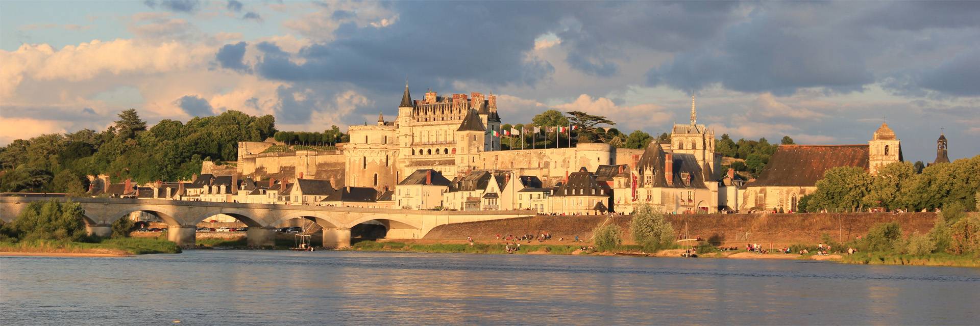
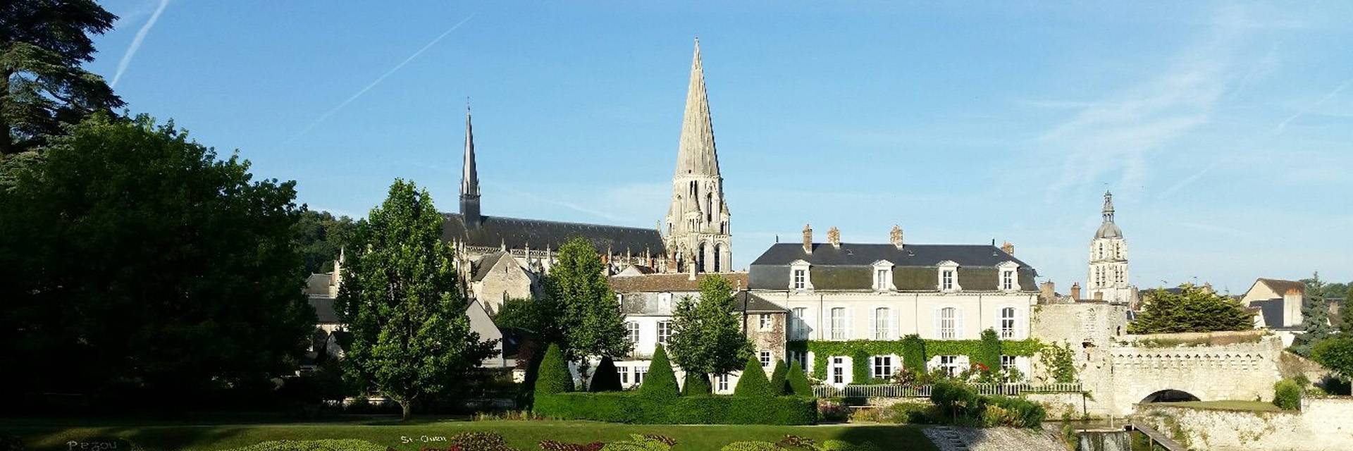
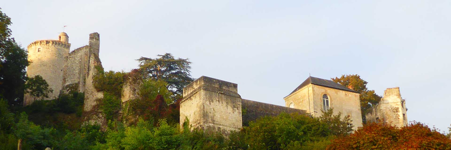
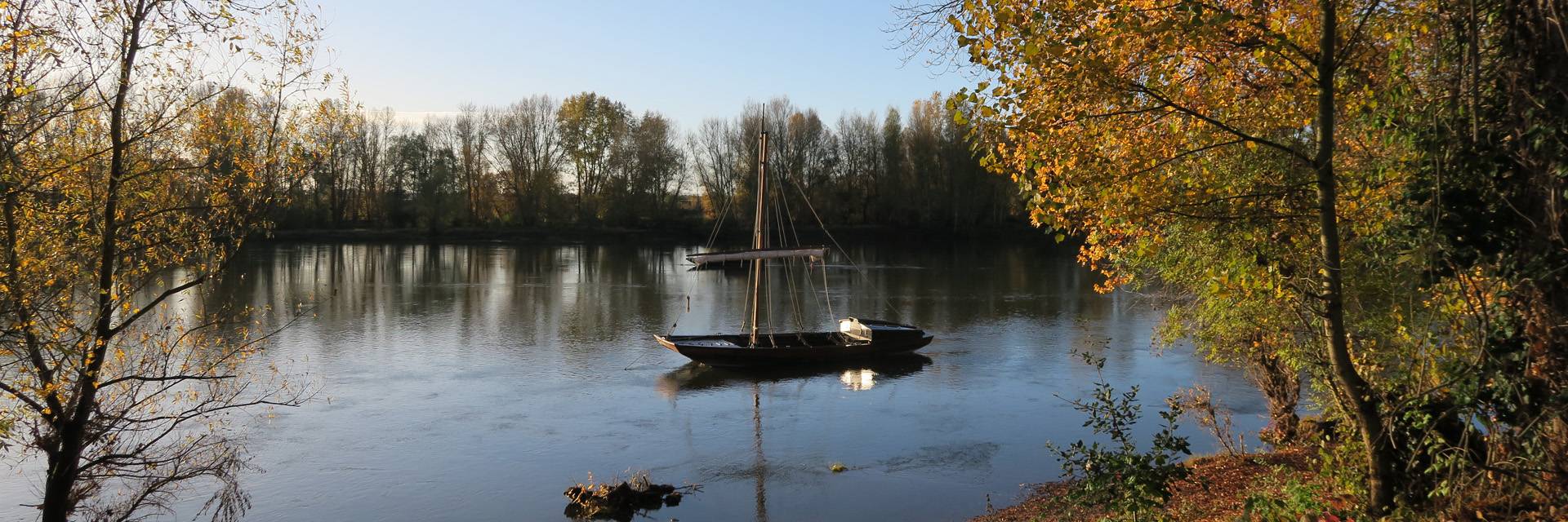
GPX tracks of the routes in the Centre-Val de Loire region
In the event of developments or modifications, the GPX tracks are updated by the communities responsible for marking and maintaining the way concerned. Before leaving, check that the GPX tracks recorded on your device are up to date.